22
Aug
Aug
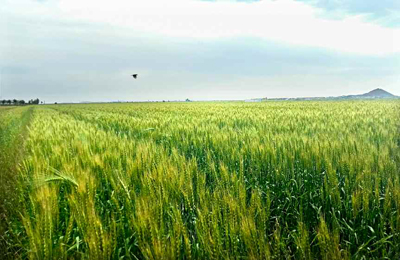
The Agricultural Information Institute under the Academy of Agricultural Science has recently completed the field digital map and introduced it into the agricultural sector of the country. The map contains databases of all arable lands in the country according to classification of fields and land categories. It supports the data of soil and weather conditions […]