News
To Put Agricultural Production on Scientific and IT Footing.
Aug
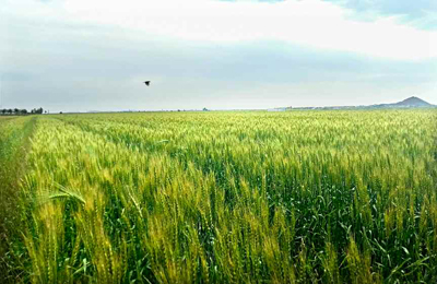
The Agricultural Information Institute under the Academy of Agricultural Science has recently completed the field digital map and introduced it into the agricultural sector of the country.
The map contains databases of all arable lands in the country according to classification of fields and land categories.
It supports the data of soil and weather conditions and forecast on a real-time basis.
The map makes it possible for cooperative farms to rationally distribute the species of crops according to fields and estimate the growth and yield of crops in a scientific way.
Pae Song Nam, section chief of the institute, said that they would make a tangible contribution to putting agricultural production on a scientific and IT footing by further developing this technology.