Mount Kumgang has been known for its scenic beauty since ancient timesand is the subject of many different works of art. Including its spring name, Kŭmgang (Hangul: 금강산; Hanja: 金剛), it has many different names for each season, but it is most widely known today in the Korean language as Kŭmgangsan. In summer it is called Pongraesan (봉래산, 蓬萊山: the place where a Spirit dwells); in autumn, Phung’aksan (풍악산, 楓岳山: hill of colored leaves, or 楓骨山: great mountain of colored leaves in winter, Kaegolsan (개골산, 皆骨山: stone bone mountain).
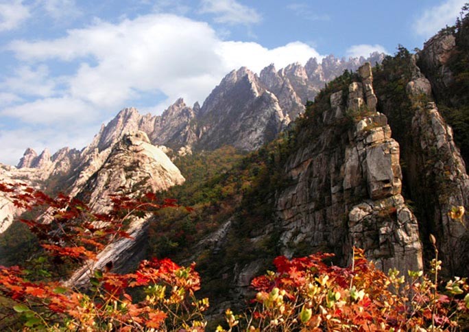
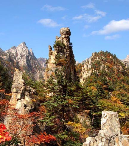
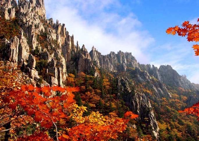
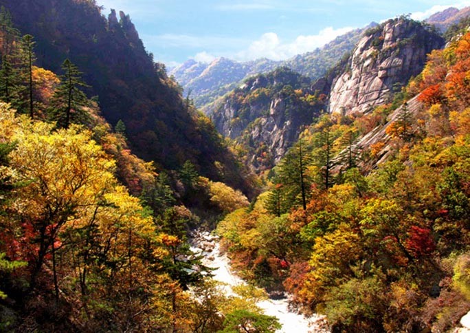
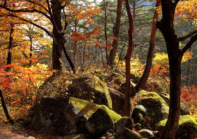
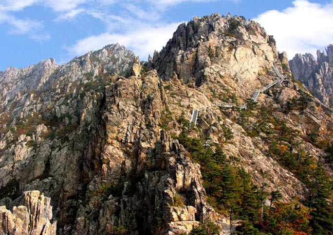
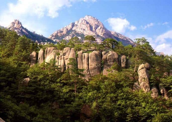
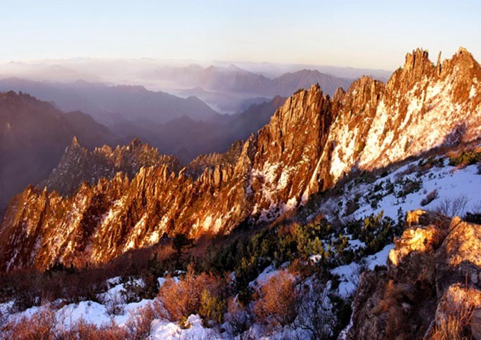
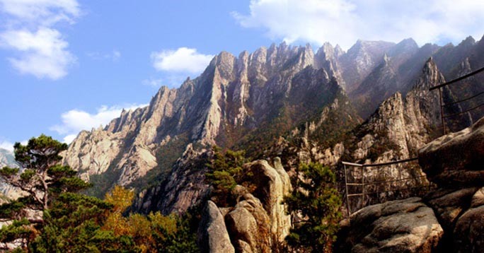
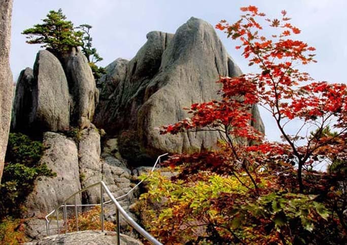
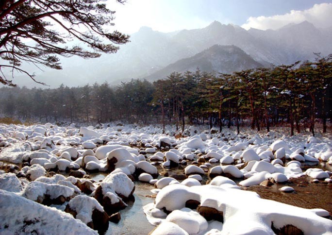
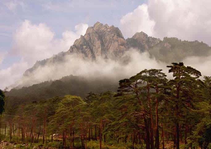
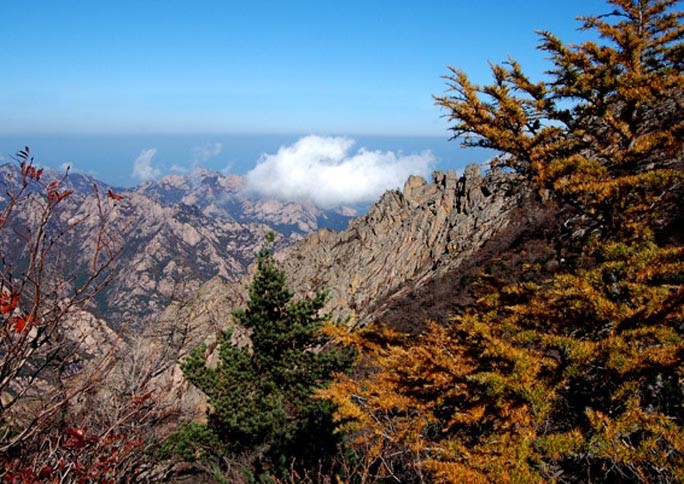
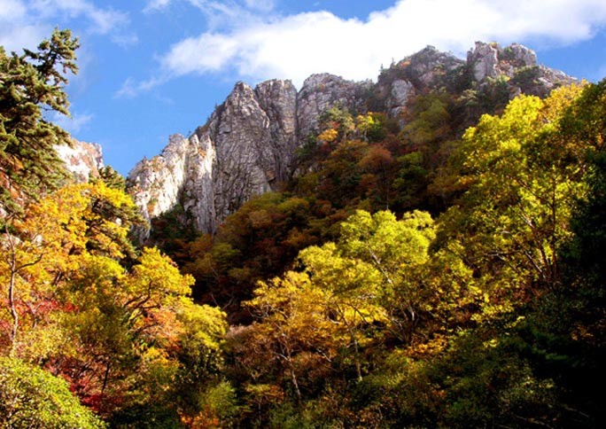
The mountain consists almost entirely of granite and diorite, weathered over centuries into a wide variety of shapes, including over 12,000 picturesque stone formations, ravines, cliffs, stone pillars, and peaks. Much of the mountain is covered by mixed broadleaf and coniferous forest and protected in a 60,000 ha national park. Some 25,000 ha has been identified by BirdLife International as an Important Bird Area (IBA) because it supports endangered Red-crowned Cranes.
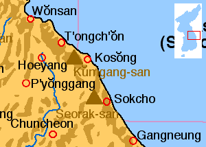
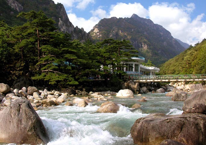
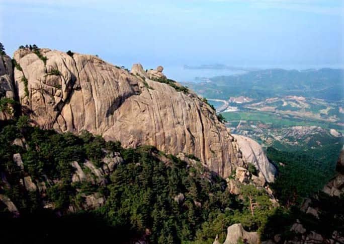
Mount Kumgang is commonly divided into three areas: Inner Kŭmgang, Outer Kŭmgang, and Sea Kŭmgang, each with different geological and topographical features.
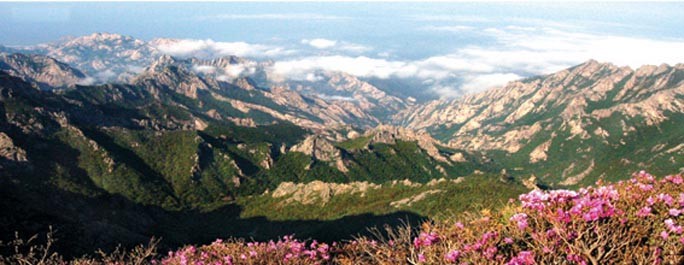
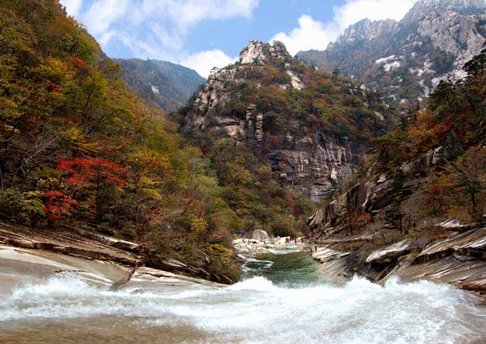
Inner Kŭmgang is noted for its views. The Manpok ravine is popular with tourists.
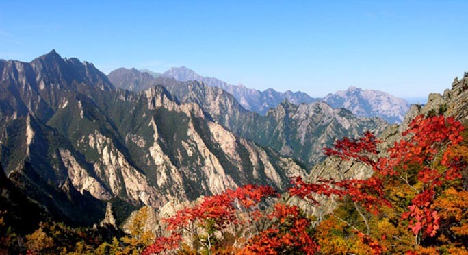
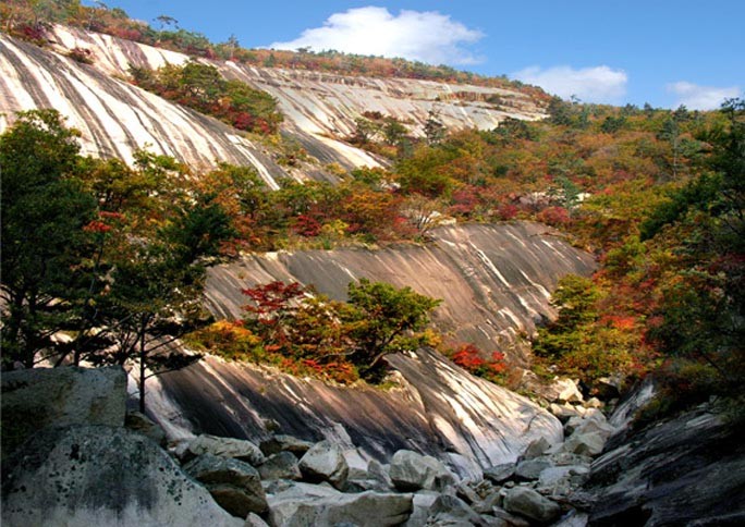
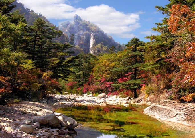
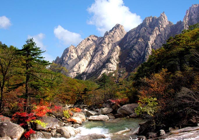
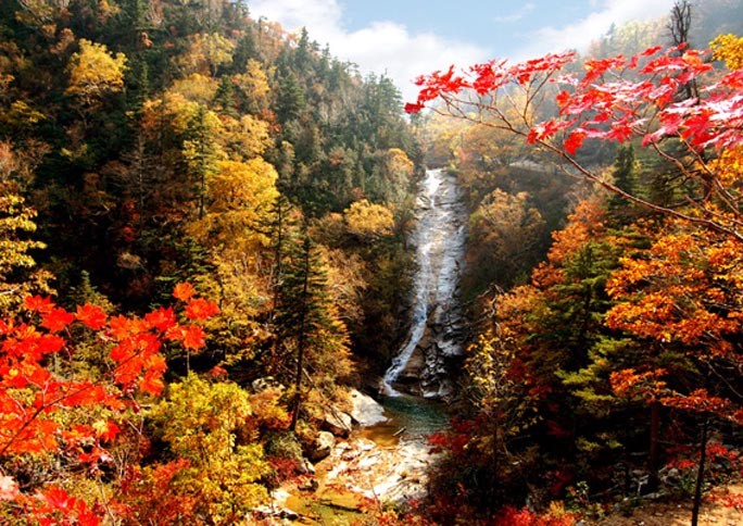
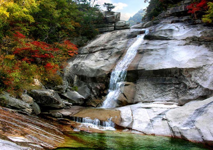
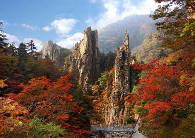
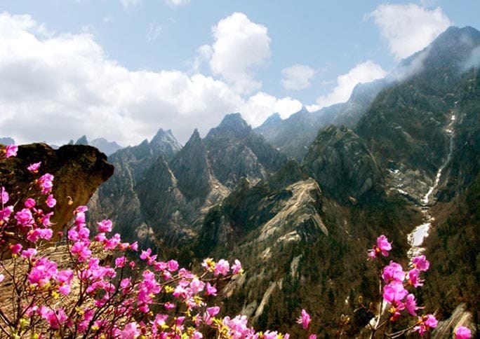
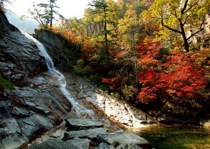
Outer Kŭmgang is noted for the large number of peaks. Chipson Peak (rock of ten thousand forms) is known for its many waterfalls.
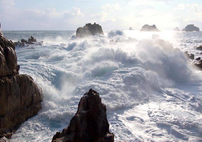
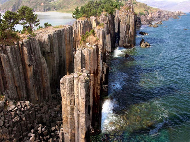
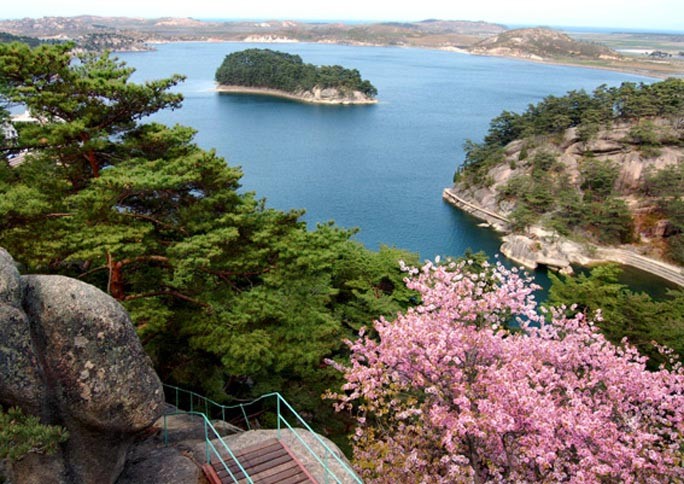
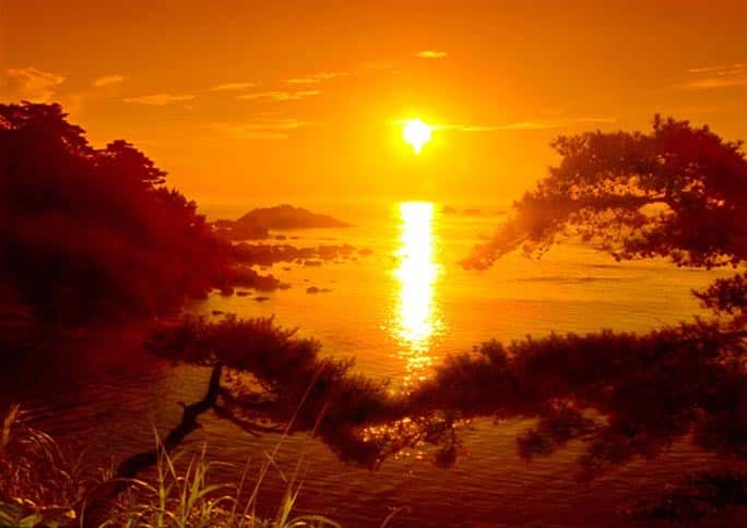
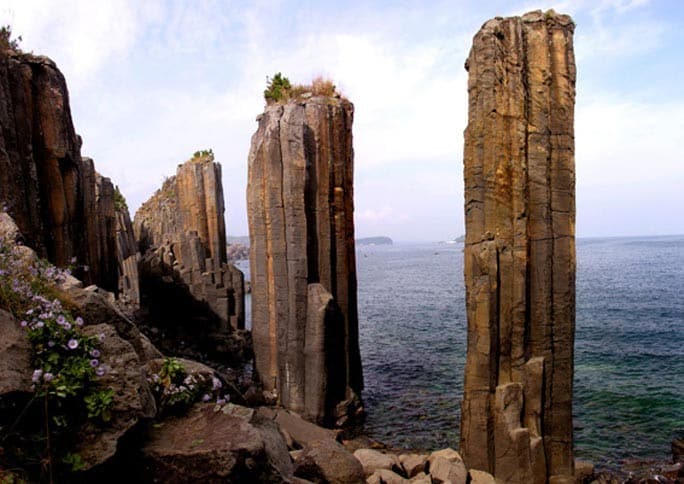
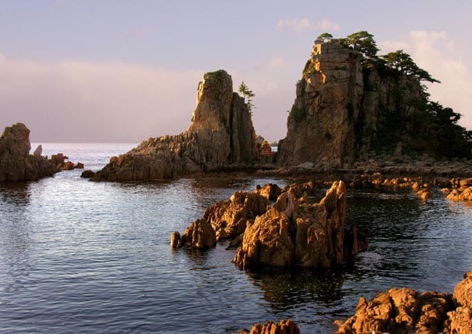
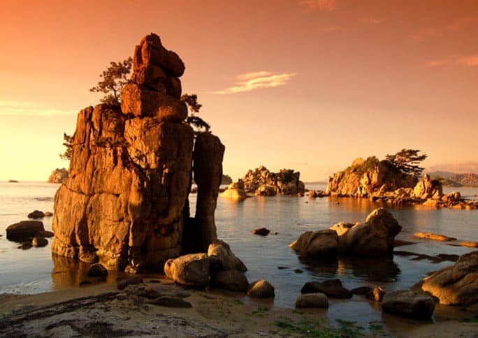
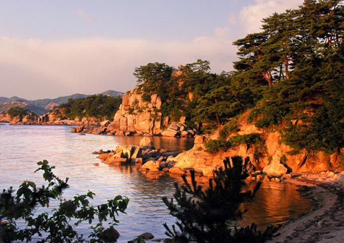
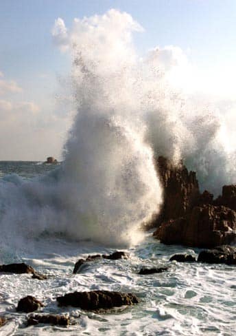
The Sea Kŭmgang area is known for the lagoons and stone pillars.
Do you have pictures of North Korea scenery and want to share them on our site? Email is at [email protected]and we would be happy to post them along with a credit to you.
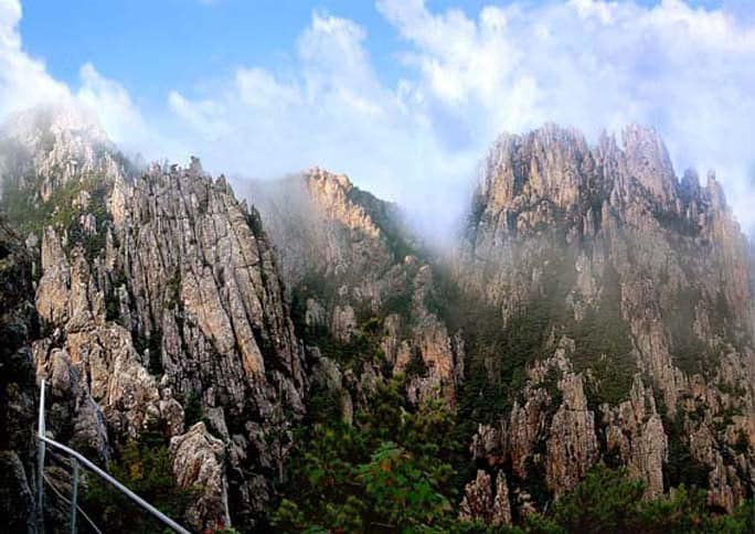
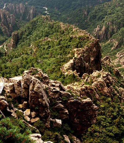
A Chain of Rocks in Outer Kumgang – DPRK
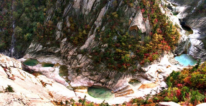
A Panoramic View of Inner Kumgang – DPRK
A Rocky Cliff of Sujong Peak – DPRK
Amazing Rock Formations in Chonbul Valley – DPRK
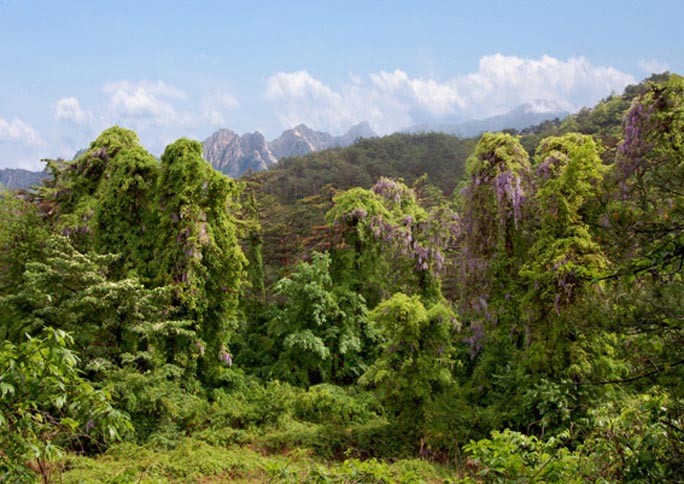
Arrowroot Flowers in Singye Valley – DPRK
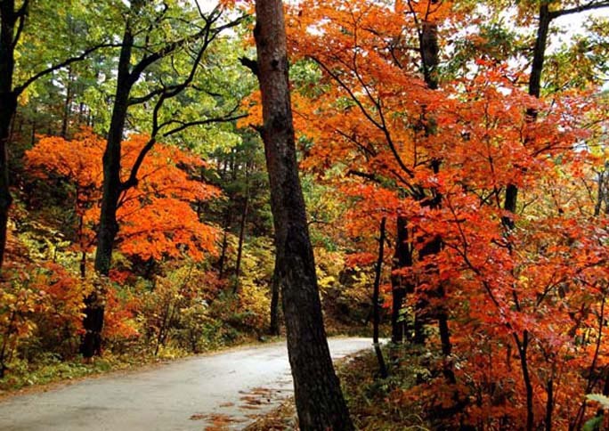
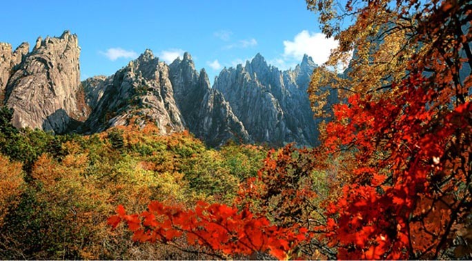
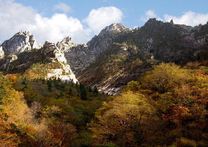
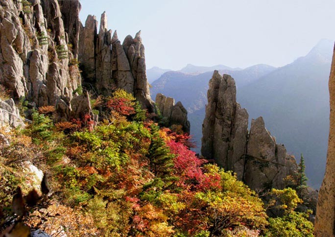
Autumn Foliage in Manmulsang – DPRK
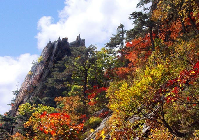
Autumnal Tints on Sejon Peaks – DPRK
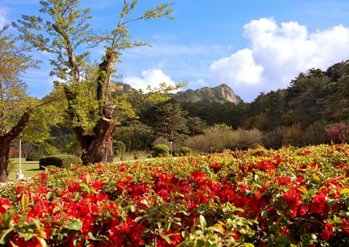
Azaleas on Piro Peak – DPRK
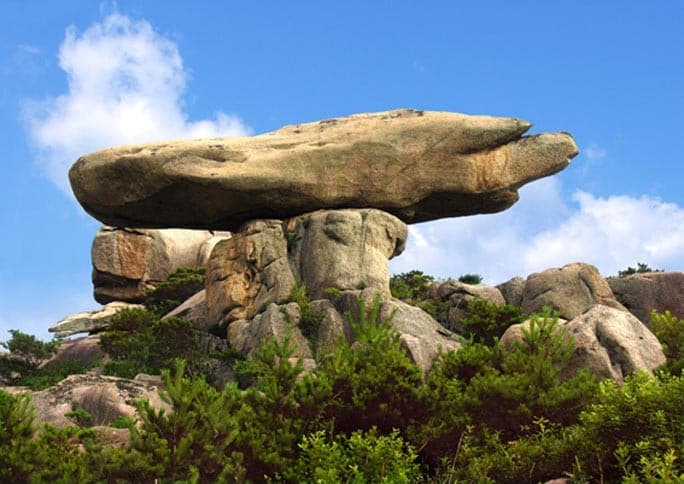
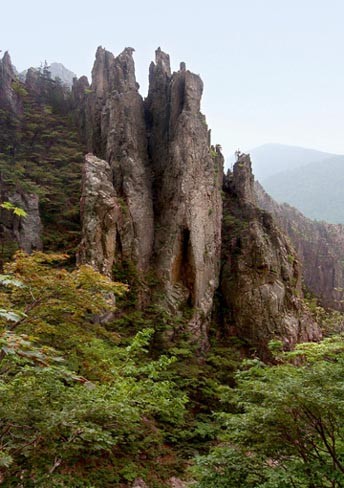
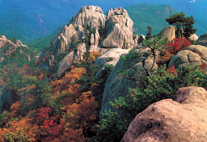
Beautiful Rock Formations of Jipson Peak – DPRK
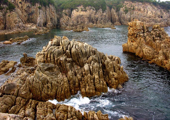
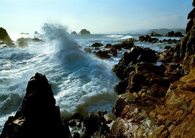
Breakers on Sea Kumgang – DPRK
Chongnyu Cliff in Inner Kumgang – DPRK
Chongsokjong – DPRK
Chonwa Platform – DPRK
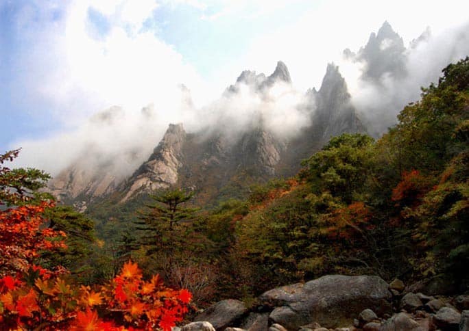
Cloud Veiled Manmulsang – DPRK
Clouds Around Jipson Peaks – DPRK
Fantastic Rocks of Pisamun – DPRK
Fun Rocks of Pyolgumgang – DPRK
Hapsumok Falls in Sonha Valley – DPRK
Hawgae Valley in Autumn – DPRK
Hungyong Pool – DPRK
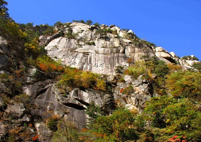
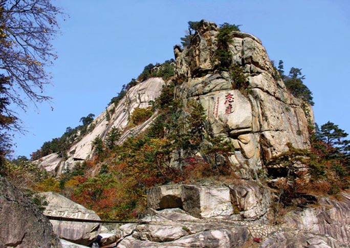
Inner Rock of Kumgang Inscribed with a Proposition – DPRK
Jinju Pool – DPRK
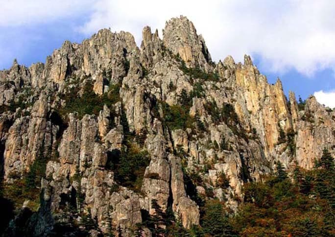
Jipson Peaks – DPRK
Jipson Peaks in Autumn – DPRK
Inner Rock of Kumgang Inscribed with a Proposition – DPRK
Jipson Peaks Viewed from Sejon Peaks – DPRK
Jiwon (Aim High) Rock in Manphok Valley – DPRK
Jolbu Rocks in Manmulsang – DPRK
Kuchon Falls – DPRK
Kumgang Gates of Inner Kumgang – DPRK
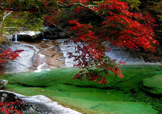
Kumgang Falls – DPRK
Kwimyon Rock – DPRK
Lagoon Samil in Spring – DPRK
Lower Kwangum Peak in Early Winter- DPRK
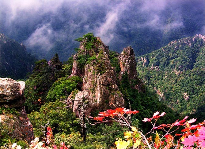
Manmulsang in Autumn – DPRK
Manmulsang in Winter – DPRK
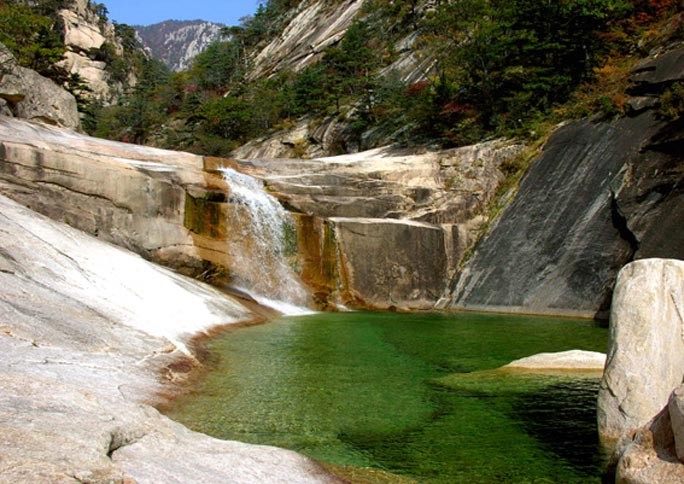
Manphok Valley – DPRK
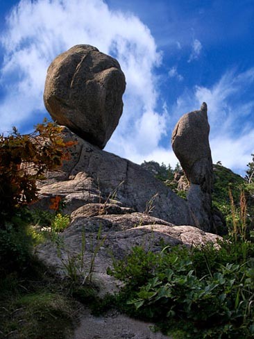
Mossy Rocks – DPRK
Mountain Climbing Route to Choson Platform – DPRK
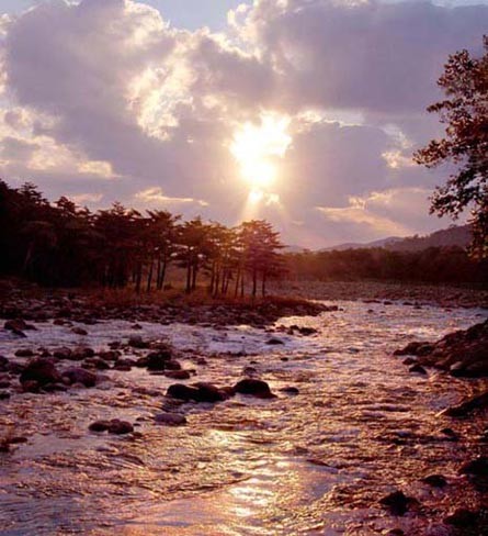
Mt. Kumgang at Sunrise – DPRK
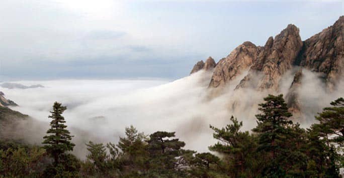
Mt. Kumgang Wrapped in Clouds – DPRK
Myonggyong Rock – DPRK
Mysteriously Shaped Rocks of Sujong Peak – DPRK
Ogyong Falls – DPRK
Ongnyo Peak in the Morning – DPRK
Ongnyu Pool – DPRK
Ongnyu Valley in Autumn – DPRK
Onjong Stream – DPRK
Onjong-ri in the morning – DPRK
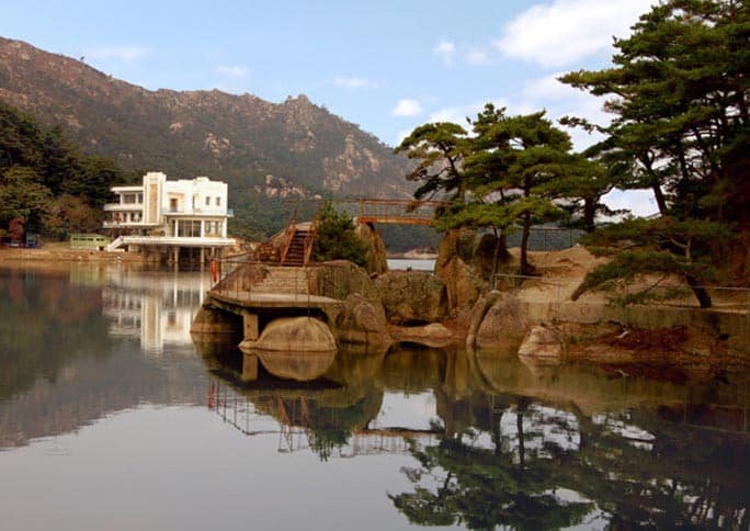
Kumgang Scenery – DPRK
Path to Sujong Peak – DPRK
Pawisong Rock (Rock Fort) Viewed from Chonson Platform – DPRK
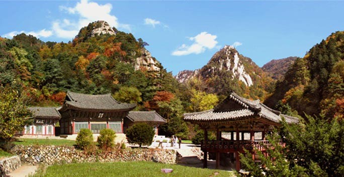
Phyohun Temple – DPRK
Pibong Falls – DPRK
Piro Peak – DPRK
Piro Peak Sunrise – DPRK
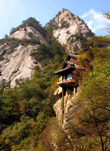
Podok Hermitage in Inner Kumgang – DPRK
Pyolgumgang – DPRK
Quinces in Onjong-ri – DPRK
Resting Place in Lagoon Samil – DPRK
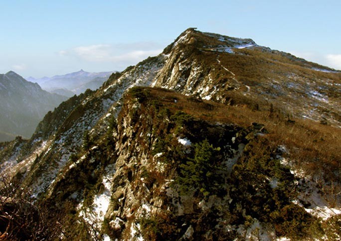
Ridge of Piro Peak – DPRK
Rock Sea of Manmulsang – DPRK
Rocks in Manmulsang – DPRK
Rocks of Chonson Platform – DPRK
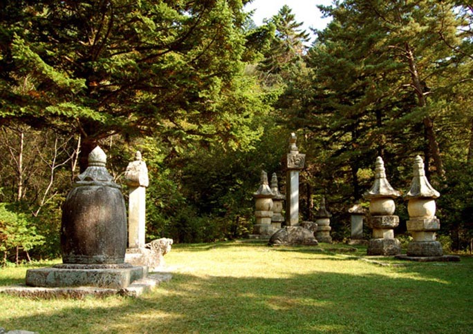
Saint Sosan and Sarira Stupas Monuments – DPRK
Samhyongjye Rocks in Chongsokjong – DPRK
Samson Rocks – DPRK
Sangphal Pools – DPRK
Sea Kumgang Breakers
Sea Kumgang Gate – DPRK
Sea Kumgang Glowing – DPRK
Sea Kumgang in th Morning – DPRK
Sea Kumgang Shore – DPRK
Sea Manmulsang – DPRK
Sejon Peaks in Late Autumn – DPRK
Sejon Peaks Seen from Kuryong Platform – DPRK
Sightseeing Path on Sujong Peak – DPRK
Singye Stream in Summer – DPRK
Snow Covered Singye Stream – DPRK
Sonha Valley in Spring – DPRK
Sujong Peak – DPRK
Sujong Peak Commands Sonsu Rock – DPRK
Summit of Sejon Peaks which Commands the East Sea of Korea – DPRK
Tableland of Piro Peak – DPRK
Talmum Falls – DPRK
Wolchul Peak in Early Autumn – DPRK
Official USA Delegate
A Message from the KFAUSA Official Delegate "We ultimately strive for peace and reunification in the Korean peninsula and love providing correct and accurate information from the DPRK to you. We hope you enjoy your time here and be sure to visit our Facebook page to meet other supporters and friends of the Democratic People's Republic of Korea."